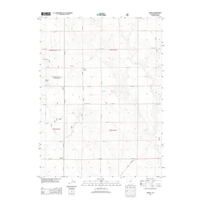
2013 Map of Purcell
USGS Topo · Published 2013About this map
Purcell serves as the focal point for this landscape in the High Plains, situated at the junction of Co Road 90 and Co Road 49. The area is characterized by a sparse, working landscape where water management and ranching infrastructure are vital. Named landmarks like Joker Windmill, Pap Windmill, and Raven Windmill are scattered throughout, indicating the importance of groundwater for the region's agricultural viability.
Find a feature on this map
31 named features on this map. Tap any name to fly to it.
Don’t see what you’re looking for? This feature index may not catch every label — zoom into the map to look around manually.
Map Details
Editions of this 2013 Purcell Map
This is the sole edition of this map. No revisions or reprints were ever made.
Other maps of this area

1908 · Eaton
USGS Topo · 1:125,000

1910 · Eaton
USGS Topo · 1:125,000

1954 · Greeley
USGS Topo · 1:250,000

1957 · Greeley
USGS Topo · 1:250,000

1958 · Greeley
USGS Topo · 1:250,000

1960 · Purcell
USGS Topo · 1:24,000
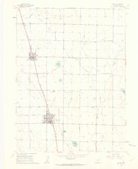
1960 · Eaton
USGS Topo · 1:24,000
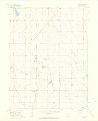
1960 · Galeton
USGS Topo · 1:24,000
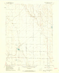
1960 · Antelope Reservoir
USGS Topo · 1:24,000

1961 · Greeley
USGS Topo · 1:250,000