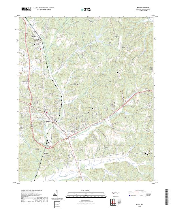
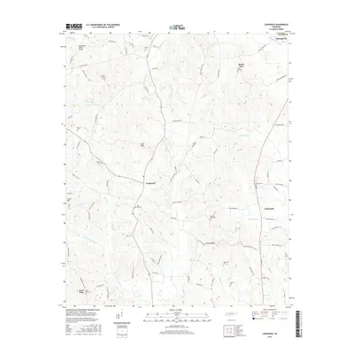
2022 Map of Purdy
USGS Topo · Published 2022About this map
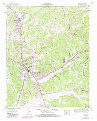
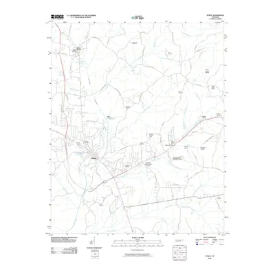
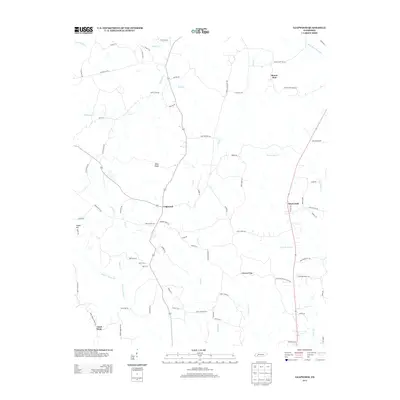
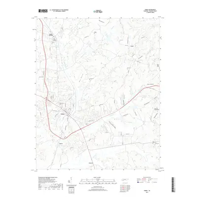
Selmer and Bethel Springs anchor this McNairy County landscape, situated where the terrain begins to slope away from the Tennessee Valley Divide. The area is characterized by a dense network of family and community history, evidenced by numerous burial grounds such as the Poor Farm Cem, Motley Family Cem, and Purdy Wisdom Cem. The central drainage of Cypress Creek Ditch and Turkey Cr define the local topography, which is carved into numerous named hollows like Moss Hollow and Major Hill Hollow. Outside the main settlements, the rural character is maintained through small clusters of development around Falcon and Eastview. Significant regional infrastructure is present, including the McNairy County Justice Center and the Robert Sibley Airport near Dutchman Hollow. This modern survey provides a clear view of how long-established landmarks like Purdy persist alongside contemporary transportation corridors and public facilities.
Find a feature on this map
194 named features on this map. Tap any name to fly to it.
Don’t see what you’re looking for? This feature index may not catch every label — zoom into the map to look around manually.
Map Details
Editions of this 2022 Purdy Map
This is the sole edition of this map. No revisions or reprints were ever made.
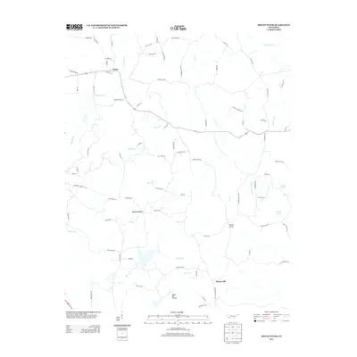
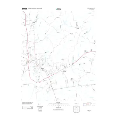
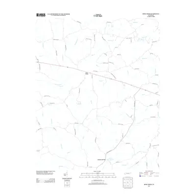
Historical Maps of Selmer Through Time
27 maps found
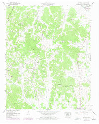
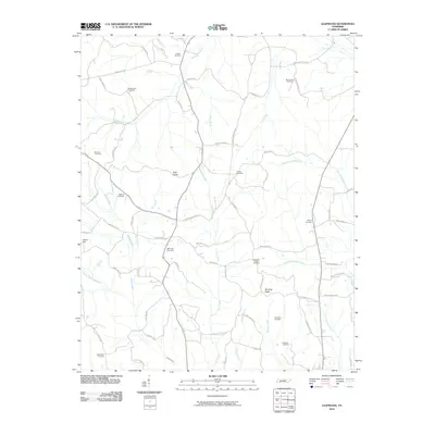
1936 Leapwood
McNairy County, TN
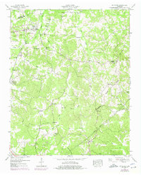
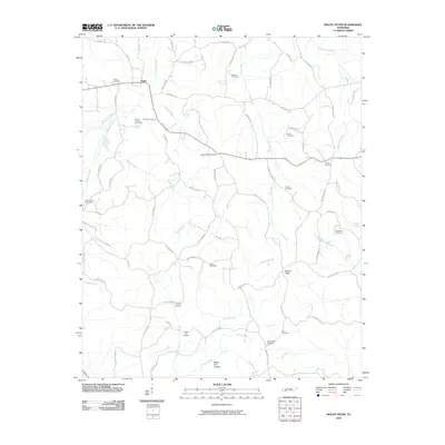
1936 Mt. Peter
McNairy County, TN
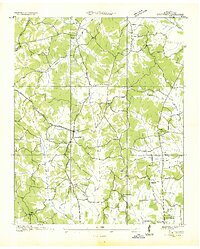
1936 Purdy
McNairy County, TN
1949 Leapwood
McNairy County, TN
1949 Mt Peter
McNairy County, TN
1949 Purdy
McNairy County, TN
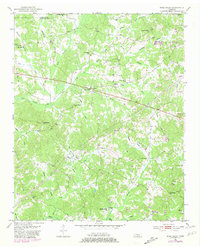
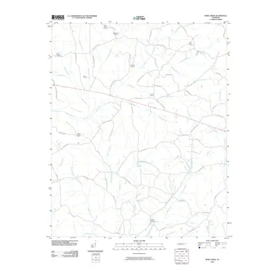
1951 Rose Creek
McNairy County, TN
2010 Leapwood
McNairy County, TN
2010 Mount Peter
McNairy County, TN
2010 Purdy
McNairy County, TN
2010 Rose Creek
McNairy County, TN
2013 Leapwood
McNairy County, TN
2013 Mount Peter
McNairy County, TN
2013 Purdy
McNairy County, TN
2013 Rose Creek
McNairy County, TN
2016 Leapwood
McNairy County, TN
2016 Mount Peter
McNairy County, TN
2016 Purdy
McNairy County, TN
2016 Rose Creek
McNairy County, TN
2019 Leapwood
McNairy County, TN
2019 Mount Peter
McNairy County, TN
2019 Purdy
McNairy County, TN
2019 Rose Creek
McNairy County, TN
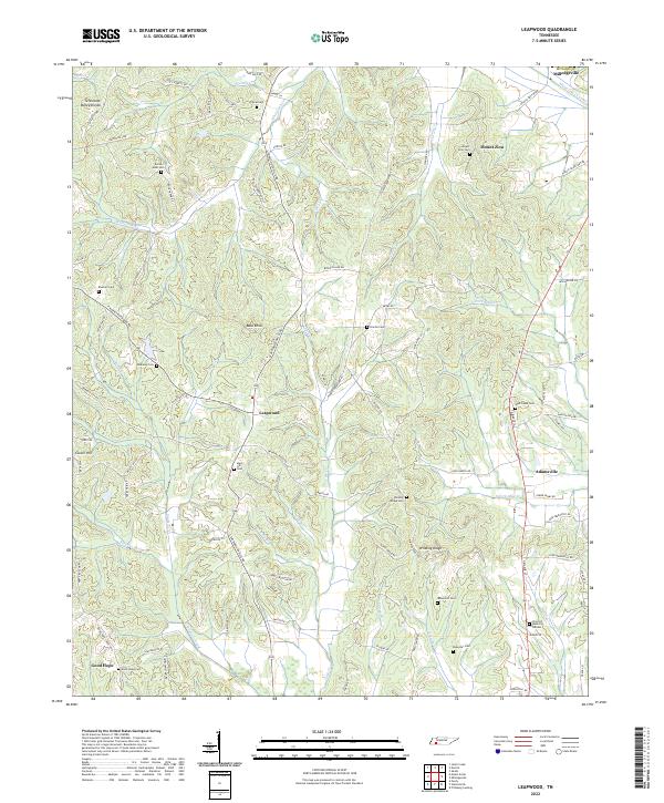
2022 Leapwood
McNairy County, TN
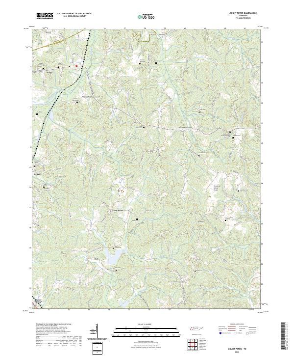
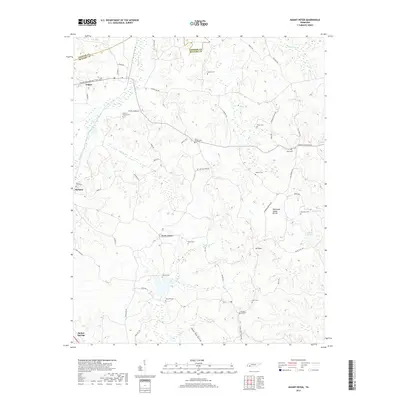
2022 Mount Peter
McNairy County, TN
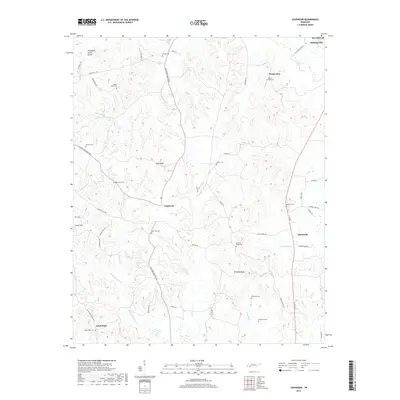
2022 Purdy
McNairy County, TN
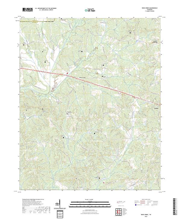
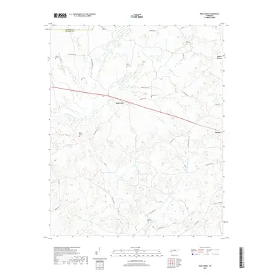
2022 Rose Creek
McNairy County, TN