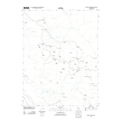
2012 Map of Purdys Gardens
USGS Topo · Published 2012About this map
Purdys Gardens and several historic ranching outposts define this 2012 survey of the high country between the Clear Lake basin and the Russian River. The landscape is a network of named ridges and canyons, where Cow Mountain and Cow Mountain Ridge overlook a series of specialized camps and glades. The map reveals a specific pattern of land use where isolated cabins, such as James Cabin and Kelsey Cabin, sit deep within the drainage of Parsons Cr and Benmore Cr.
Find a feature on this map
73 named features on this map. Tap any name to fly to it.
Don’t see what you’re looking for? This feature index may not catch every label — zoom into the map to look around manually.
Map Details
Editions of this 2012 Purdys Gardens Map
This is the sole edition of this map. No revisions or reprints were ever made.
Other maps of this area

1920 · Ukiah
USGS Topo · 1:62,500

1921 · Kelseyville
USGS Topo · 1:62,500

1938 · Lakeport
USGS Topo · 1:62,500

1938 · Hopland
USGS Topo · 1:62,500

1943 · Kelseyville
USGS Topo · 1:62,500

1943 · Hopland
USGS Topo · 1:62,500

1944 · Ukiah
USGS Topo · 1:62,500

1944 · Hopland
USGS Topo · 1:62,500

1947 · Santa Rosa
USGS Topo · 1:250,000

1949 · Santa Rosa
USGS Topo · 1:250,000