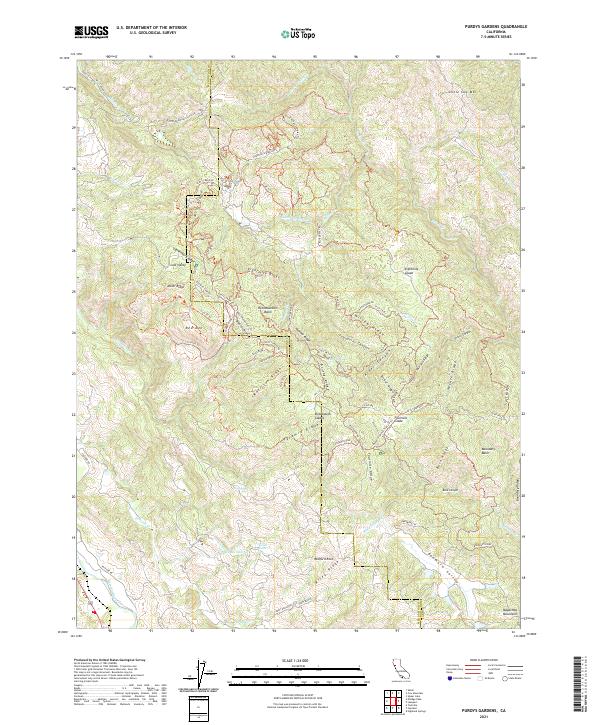
2021 Map of Purdys Gardens
USGS Topo · Published 2021About this map
Cow Mountain dominates the landscape of this 2021 survey, marking the high-elevation divide between Mendocino and Lake counties. This terrain is defined by a dense network of ridges and basins, including Morrison Ridge, Brushy Ridge, and Red Mountain Basin. The map detail reveals an extensive system of access routes and recreational pathways, such as the Mendo-Lake Trl and Lyons Ridge Complex Trl, which connect high points like Red Mtn and Little Cow Mtn.
Find a feature on this map
88 named features on this map. Tap any name to fly to it.
Don’t see what you’re looking for? This feature index may not catch every label — zoom into the map to look around manually.
Map Details
Editions of this 2021 Purdys Gardens Map
This is the sole edition of this map. No revisions or reprints were ever made.
Other maps of this area

1920 · Ukiah
USGS Topo · 1:62,500

1921 · Kelseyville
USGS Topo · 1:62,500

1938 · Lakeport
USGS Topo · 1:62,500

1938 · Hopland
USGS Topo · 1:62,500

1943 · Kelseyville
USGS Topo · 1:62,500

1943 · Hopland
USGS Topo · 1:62,500

1944 · Ukiah
USGS Topo · 1:62,500

1944 · Hopland
USGS Topo · 1:62,500

1947 · Santa Rosa
USGS Topo · 1:250,000

1949 · Santa Rosa
USGS Topo · 1:250,000