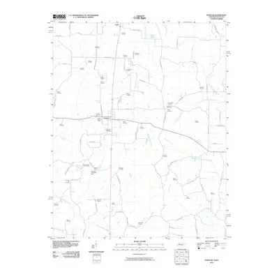
2010 Map of Puryear
USGS Topo · Published 2010About this map
Puryear and the nearby village of Hazel anchor this landscape along the Tennessee-Kentucky border, a region defined by its numerous family and community burial grounds. From the Puryear Memorial Garden to the Old Foundary Hill Cemetery, the map serves as a meticulous record of local heritage and genealogical history. The terrain is divided by a network of waterways including the East Fork Clarks River, Mormon Branch, and the North Fork Obion River, which meander through a countryside predominantly organized by rural routes such as Old Paris Murray Rd and Puryear Crossland Rd. Significant landmarks like Spinks Spur and the Kentucky-Tennessee Spur highlight the unique topography near the state line, while Mason Lake and the Middle Fork Blood River characterize the eastern reaches of this borderland territory.
Find a feature on this map
89 named features on this map. Tap any name to fly to it.
Don’t see what you’re looking for? This feature index may not catch every label — zoom into the map to look around manually.
Map Details
Editions of this 2010 Puryear Map
This is the sole edition of this map. No revisions or reprints were ever made.
Other maps of this area

1936 · Conyersville
USGS Topo · 1:24,000

1936 · Buchanan
USGS Topo · 1:24,000

1936 · Hazel
USGS Topo · 1:24,000

1936 · New Concord
USGS Topo · 1:24,000

1936 · Crossland
USGS Topo · 1:24,000

1936 · Lynn Grove
USGS Topo · 1:24,000

1936 · Paris
USGS Topo · 1:24,000

1936 · Springville
USGS Topo · 1:24,000

1938 · Springville
USGS Topo · 1:24,000

1942 · New Concord
USGS Topo · 1:24,000