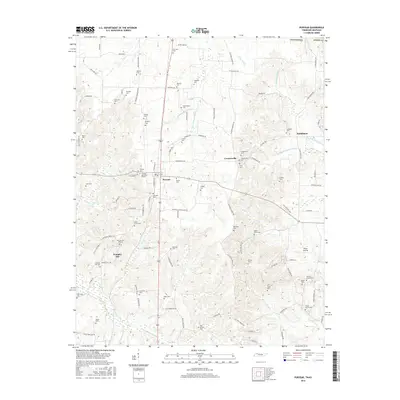
2016 Map of Puryear
USGS Topo · Published 2016About this map
Puryear stands as the primary hub of this North Tennessee landscape, situated along a north-south transportation corridor marked by Route 54. The surrounding terrain of Henry County is a complex network of small watercourses, including the N Fork Obion River and the branching headwaters of the Middle Fork Blood River. This survey reveals a high density of rural burial grounds that speak to generations of local families, such as the Stephens Cem, Hendrix Cem, and Lafever Cem. To the south, Foundry Hill and its associated Foundry Hill Cem indicate early local industry or elevation-based settlement patterns. The map also documents the transition from Tennessee into Kentucky along the northern border, where the landscape shifts toward the drainage of Dry Cr and the waters of Mason Lake.
Find a feature on this map
110 named features on this map. Tap any name to fly to it.
Don’t see what you’re looking for? This feature index may not catch every label — zoom into the map to look around manually.
Map Details
Editions of this 2016 Puryear Map
This is the sole edition of this map. No revisions or reprints were ever made.
Other maps of this area

1936 · Conyersville
USGS Topo · 1:24,000

1936 · Buchanan
USGS Topo · 1:24,000

1936 · Hazel
USGS Topo · 1:24,000

1936 · New Concord
USGS Topo · 1:24,000

1936 · Crossland
USGS Topo · 1:24,000

1936 · Lynn Grove
USGS Topo · 1:24,000

1936 · Paris
USGS Topo · 1:24,000

1936 · Springville
USGS Topo · 1:24,000

1938 · Springville
USGS Topo · 1:24,000

1942 · New Concord
USGS Topo · 1:24,000