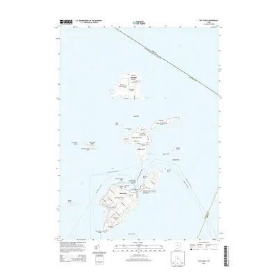
2013 Map of Put-in-Bay
USGS Topo · Published 2013About this map
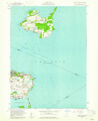
South Bass Island and the neighboring archipelago in Lake Erie are defined by a complex maritime landscape of harbors, points, and navigational landmarks. This 2013 survey identifies the village of Put-in-Bay, dominated by the Perry's Victory and International Peace Memorial on the island's narrow neck. The island serves as a transportation hub for the region, featuring Put-in-Bay Airport and several ferry routes, including the line to Port Clinton.
Find a feature on this map
75 named features on this map. Tap any name to fly to it.
Don’t see what you’re looking for? This feature index may not catch every label — zoom into the map to look around manually.
Map Details
Editions of this 2013 Put-in-Bay Map
This is the sole edition of this map. No revisions or reprints were ever made.
Other maps of this area

1901 · Put-In-Bay
USGS Topo · 1:62,500

1903 · Put In Bay
USGS Topo · 1:62,500

1916 · Kelleys Island
USGS Topo · 1:62,500

1919 · Kelleys Island
USGS Topo · 1:62,500

1956 · Toledo
USGS Topo · 1:250,000
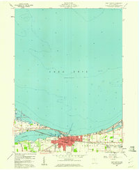
1959 · Port Clinton
USGS Topo · 1:24,000
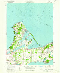
1959 · Gypsum
USGS Topo · 1:24,000
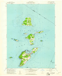
1959 · Put-In-Bay
USGS Topo · 1:24,000
1959 · Kelleys Island
USGS Topo · 1:24,000

1961 · Toledo
USGS Topo · 1:250,000