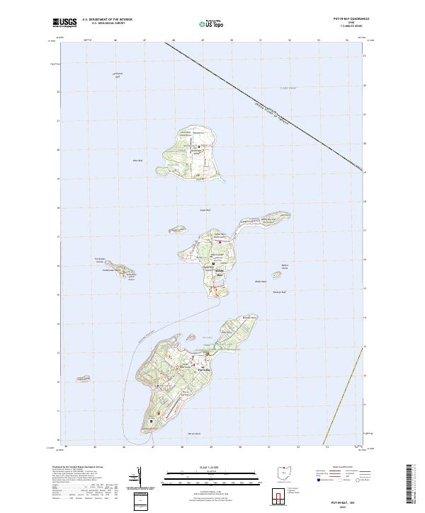
2023 Map of Put-in-Bay
USGS Topo · Published 2023About this map
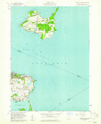
Perry's Victory and International Peace Memorial stands as a massive landmark overlooking the village of Put-in-Bay, anchoring this survey of the northern Ohio archipelago. The map details the intricate coastlines and surrounding waters of South Bass Island, Middle Bass, and North Bass Island, showing the modern transportation network of island life. From the small Put-in-Bay Airport to the Middle Bass Island Ferry route, the map illustrates how these isolated communities remain connected to the mainland and each other. Local heritage is preserved in the locations of Crown Hill Cem and Maple Leaf Cem, while the surrounding Lake Erie waters are marked with hazardous features like Northwest Reef and Buckeye Reef. Smaller landmasses including Rattlesnake Island and Ballast Island appear alongside specialized infrastructure like the Middle Bass-East Point Airport.
Find a feature on this map
60 named features on this map. Tap any name to fly to it.
Don’t see what you’re looking for? This feature index may not catch every label — zoom into the map to look around manually.
Map Details
Editions of this 2023 Put-in-Bay Map
This is the sole edition of this map. No revisions or reprints were ever made.
Other maps of this area

1901 · Put-In-Bay
USGS Topo · 1:62,500

1903 · Put In Bay
USGS Topo · 1:62,500

1916 · Kelleys Island
USGS Topo · 1:62,500

1919 · Kelleys Island
USGS Topo · 1:62,500

1956 · Toledo
USGS Topo · 1:250,000
1959 · Port Clinton
USGS Topo · 1:24,000
1959 · Gypsum
USGS Topo · 1:24,000
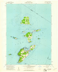
1959 · Put-In-Bay
USGS Topo · 1:24,000
1959 · Kelleys Island
USGS Topo · 1:24,000

1961 · Toledo
USGS Topo · 1:250,000