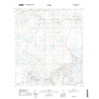
2021 Map of Putnam Hall
USGS Topo · Published 2021About this map
Interlachen and the surrounding lake country of northwestern Putnam County are defined by a high concentration of karst basin lakes and expansive wetland prairies. The landscape transitions from the residential street grids of Florahome and Grandin into the broad, open reaches of Putnam Prairie and Goodson Prairie. This 2021 survey shows a region where water and land are inextricably linked, with dozens of named water bodies like Lake Grandin and the uniquely named Whirlwind Lake pocketing the sandy terrain.
Find a feature on this map
120 named features on this map. Tap any name to fly to it.
Don’t see what you’re looking for? This feature index may not catch every label — zoom into the map to look around manually.
Map Details
Editions of this 2021 Putnam Hall Map
This is the sole edition of this map. No revisions or reprints were ever made.
Other maps of this area

1915 · Interlachen
USGS Topo · 1:48,000

1916 · Interlachen
USGS Topo · 1:62,500

1938 · Hawthorn
USGS Topo · 1:48,000

1941 · Starke
USGS Topo · 1:62,500

1942 · Ates Creek
USGS Topo · 1:62,500

1943 · Hawthorn
USGS Topo · 1:62,500

1944 · Interlachen
USGS Topo · 1:62,500

1948 · Starke
USGS Topo · 1:50,000

1949 · Rice Creek
USGS Topo · 1:24,000

1949 · Keuka
USGS Topo · 1:24,000