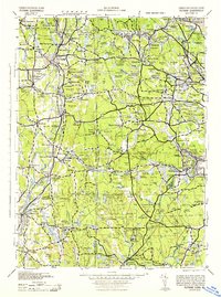
1943 Map of Putnam
USGS Topo · Published 1944About this map
The Quinebaug River and Five Mile River corridors anchor this mid-century portrait of the borderlands between Connecticut and Rhode Island. Industrial hubs like Putnam, Danielson, and Moosup are shown at a peak of rail connectivity, dominated by the extensive network of the New York New Haven and Hartford railroad. The map captures the transition from the dense textile mill villages along the river valleys to the high, wooded ridges of the Quinebaug Highlands, marked by prominent elevations like Mashentuck Hill and Break Neck Hill.
Find a feature on this map
314 named features on this map. Tap any name to fly to it.
Don’t see what you’re looking for? This feature index may not catch every label — zoom into the map to look around manually.
Map Details
Editions of this 1943 Putnam Map
This is the sole edition of this map. No revisions or reprints were ever made.
Other maps of this area

1886 · Blackstone
USGS Topo · 1:62,500

1887 · Brookfield
USGS Topo · 1:62,500

1887 · Franklin
USGS Topo · 1:62,500

1887 · Providence
USGS Topo · 1:62,500

1889 · Stonington
USGS Topo · 1:62,500

1889 · Charlestown
USGS Topo · 1:62,500

1889 · Providence
USGS Topo · 1:62,500

1889 · Blackstone
USGS Topo · 1:62,500

1889 · Webster
USGS Topo · 1:62,500

1889 · Newport
USGS Topo · 1:62,500