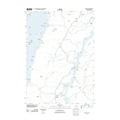
2012 Map of Putnam
USGS Topo · Published 2012About this map
Lake Champlain and Lake George dominate this 2012 survey, revealing the complex geography of the narrow land strip between these two major Adirondack waterways. The eastern shore of Lake George is characterized by numerous points and islands, including Gull Island, Racket Island, and Pardo Point, while the narrow southern reaches of Lake Champlain feature navigation aids like the Chubbs Dock Light at Dresden Center. Local settlements such as Putnam Station and Clemons serve as hubs for the rural road network, which includes historically named routes like Military Rd and Doner Tpke.
Find a feature on this map
93 named features on this map. Tap any name to fly to it.
Don’t see what you’re looking for? This feature index may not catch every label — zoom into the map to look around manually.
Map Details
Editions of this 2012 Putnam Map
This is the sole edition of this map. No revisions or reprints were ever made.
Other maps of this area

1893 · Whitehall
USGS Topo · 1:62,500

1894 · Ticonderoga
USGS Topo · 1:62,500

1895 · Whitehall
USGS Topo · 1:62,500

1895 · Paradox Lake
USGS Topo · 1:62,500

1896 · Ticonderoga
USGS Topo · 1:62,500

1897 · Bolton
USGS Topo · 1:62,500

1897 · Paradox Lake
USGS Topo · 1:62,500

1898 · Whitehall
USGS Topo · 1:62,500

1900 · Bolton
USGS Topo · 1:62,500

1902 · Whitehall
USGS Topo · 1:62,500