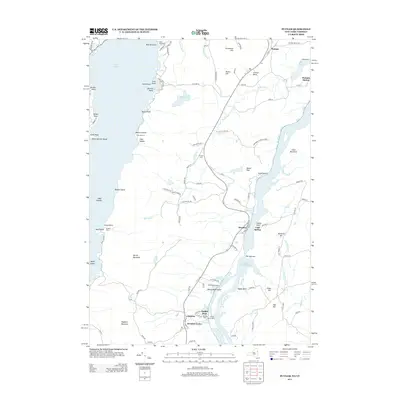
2013 Map of Putnam
USGS Topo · Published 2013About this map
The narrow land bridge between Lake George and Lake Champlain characterizes this 2013 survey of the Adirondack region. Small communities and historic landings line the shores, including Putnam Station and Dresden Center. The landscape is defined by its nautical and recreational history, evidenced by Chubbs Dock and Chubbs Dock Light on the eastern shore, along with summer camps such as Camp Sagamore and Camp Mohican near the western waters.
Find a feature on this map
109 named features on this map. Tap any name to fly to it.
Don’t see what you’re looking for? This feature index may not catch every label — zoom into the map to look around manually.
Map Details
Editions of this 2013 Putnam Map
This is the sole edition of this map. No revisions or reprints were ever made.
Other maps of this area

1893 · Whitehall
USGS Topo · 1:62,500

1894 · Ticonderoga
USGS Topo · 1:62,500

1895 · Whitehall
USGS Topo · 1:62,500

1895 · Paradox Lake
USGS Topo · 1:62,500

1896 · Ticonderoga
USGS Topo · 1:62,500

1897 · Bolton
USGS Topo · 1:62,500

1897 · Paradox Lake
USGS Topo · 1:62,500

1898 · Whitehall
USGS Topo · 1:62,500

1900 · Bolton
USGS Topo · 1:62,500

1902 · Whitehall
USGS Topo · 1:62,500