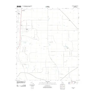
2011 Map of Putney
USGS Topo · Published 2011About this map
Putney and the surrounding Dougherty County landscape are defined by a network of drainage systems and residential developments at the start of the 2010s. The geography is primarily shaped by the meandering courses of Dry Creek and Raccoon Creek, which influence the layout of the local road system. While agriculture remains a presence, the emergence of named areas like Loretta Heights, Williamsburg, and the uniquely titled Hollands Folly suggests a shifting pattern toward rural-residential settlement.
Find a feature on this map
44 named features on this map. Tap any name to fly to it.
Don’t see what you’re looking for? This feature index may not catch every label — zoom into the map to look around manually.
Map Details
Editions of this 2011 Putney Map
This is the sole edition of this map. No revisions or reprints were ever made.
Other maps of this area

1953 · Dothan
USGS Topo · 1:250,000

1953 · Waycross
USGS Topo · 1:250,000

1954 · Dothan
USGS Topo · 1:250,000

1955 · Dothan
USGS Topo · 1:250,000

1956 · Albany East
USGS Topo · 1:24,000

1956 · Albany West
USGS Topo · 1:24,000

1956 · Baconton
USGS Topo · 1:62,500

1956 · Sylvester
USGS Topo · 1:62,500

1956 · Doerun
USGS Topo · 1:62,500

1956 · Albany
USGS Topo · 1:62,500