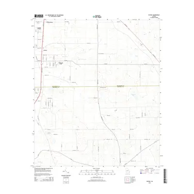
2014 Map of Putney
USGS Topo · Published 2014About this map
Putney and surrounding communities like Williamsburg and Loretta Heights sit along the busy corridor of Liberty Expy SE in this southwestern Georgia landscape. The map captures a mix of residential expansion and agricultural space, with rural subdivisions like Hollands Folly integrated into the existing road network. Significant local heritage is marked at Antioch Cem, located north of Dry Cr. The terrain is defined by the subtle drainage patterns of Weatherby Lake and Raccoon Cr, which cross the boundary between Dougherty Co and Mitchell Co. A dense network of local roads such as Stagecoach Rd and Gravel Hill Rd provides a detailed look at property access and land use during the early 21st century.
Find a feature on this map
68 named features on this map. Tap any name to fly to it.
Don’t see what you’re looking for? This feature index may not catch every label — zoom into the map to look around manually.
Map Details
Editions of this 2014 Putney Map
This is the sole edition of this map. No revisions or reprints were ever made.
Other maps of this area

1953 · Dothan
USGS Topo · 1:250,000

1953 · Waycross
USGS Topo · 1:250,000

1954 · Dothan
USGS Topo · 1:250,000

1955 · Dothan
USGS Topo · 1:250,000

1956 · Albany East
USGS Topo · 1:24,000

1956 · Albany West
USGS Topo · 1:24,000

1956 · Baconton
USGS Topo · 1:62,500

1956 · Sylvester
USGS Topo · 1:62,500

1956 · Doerun
USGS Topo · 1:62,500

1956 · Albany
USGS Topo · 1:62,500