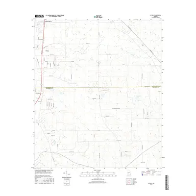
2017 Map of Putney
USGS Topo · Published 2017About this map
Putney and Williamsburg anchor the northern landscape of this South Georgia survey, where the suburban reaches of Dougherty County meet the agricultural lands of Mitchell County. The map captures a transition from residential developments like Dorough Avenue and Broach Avenue to the open terrain defined by family-named routes and rural landmarks. Local history is centered at Antioch Cemetery near Antioch Road, while the hydrology of the area is shaped by the winding course of Dry Creek and Raccoon Creek. Major transit arteries, including the Liberty Expressway and Moultrie Road, intersect with historic corridors like Stagecoach Road, illustrating how modern infrastructure follows long-established paths through the coastal plain.
Find a feature on this map
67 named features on this map. Tap any name to fly to it.
Don’t see what you’re looking for? This feature index may not catch every label — zoom into the map to look around manually.
Map Details
Editions of this 2017 Putney Map
This is the sole edition of this map. No revisions or reprints were ever made.
Other maps of this area

1953 · Dothan
USGS Topo · 1:250,000

1953 · Waycross
USGS Topo · 1:250,000

1954 · Dothan
USGS Topo · 1:250,000

1955 · Dothan
USGS Topo · 1:250,000

1956 · Albany East
USGS Topo · 1:24,000

1956 · Albany West
USGS Topo · 1:24,000

1956 · Baconton
USGS Topo · 1:62,500

1956 · Sylvester
USGS Topo · 1:62,500

1956 · Doerun
USGS Topo · 1:62,500

1956 · Albany
USGS Topo · 1:62,500