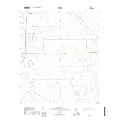
2020 Map of Putney
USGS Topo · Published 2020About this map
The settlement of Putney serves as a central hub in this modern survey of Southwest Georgia, where the residential grids of neighborhoods like Dorough Avenue and Broach Avenue meet the agricultural expanses of the coastal plain. Further north, the community of Williamsburg sits along the Liberty Expressway, marking a corridor of growth extending from nearby urban centers. This map captures the region's transition from traditional rural land use to modern development, while maintaining older landmarks like the Antioch Cemetery on Antioch Road.
Find a feature on this map
66 named features on this map. Tap any name to fly to it.
Don’t see what you’re looking for? This feature index may not catch every label — zoom into the map to look around manually.
Map Details
Editions of this 2020 Putney Map
This is the sole edition of this map. No revisions or reprints were ever made.
Other maps of this area

1953 · Dothan
USGS Topo · 1:250,000

1953 · Waycross
USGS Topo · 1:250,000

1954 · Dothan
USGS Topo · 1:250,000

1955 · Dothan
USGS Topo · 1:250,000

1956 · Albany East
USGS Topo · 1:24,000

1956 · Albany West
USGS Topo · 1:24,000

1956 · Baconton
USGS Topo · 1:62,500

1956 · Sylvester
USGS Topo · 1:62,500

1956 · Doerun
USGS Topo · 1:62,500

1956 · Albany
USGS Topo · 1:62,500