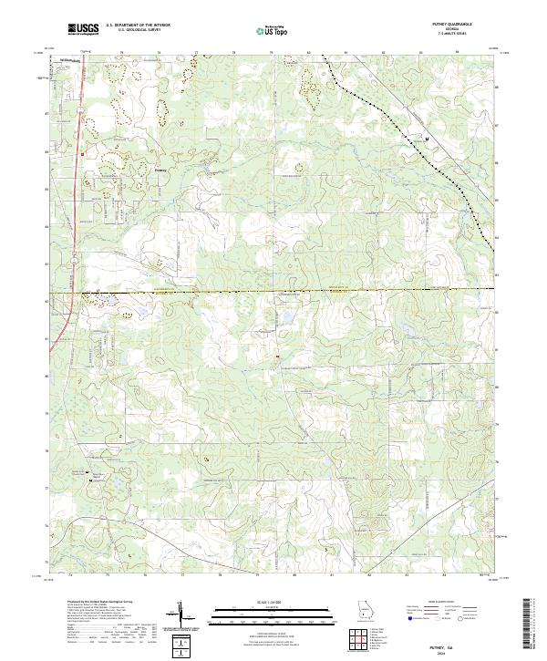
2024 Map of Putney
USGS Topo · Published 2024About this map
Putney and Williamsburg anchor this rural landscape in Southwest Georgia, situated along the Liberty Expy and the Dougherty Co Mitchell Co line. The area is defined by its scattered religious and memorial sites, including the Mount Enon Church Cem and New Salem Baptist Church Cem near the southern boundary. These locations serve as significant landmarks for genealogists and local historians tracing families in this part of the state.
Find a feature on this map
72 named features on this map. Tap any name to fly to it.
Don’t see what you’re looking for? This feature index may not catch every label — zoom into the map to look around manually.
Map Details
Editions of this 2024 Putney Map
This is the sole edition of this map. No revisions or reprints were ever made.
Other maps of this area

1953 · Dothan
USGS Topo · 1:250,000

1953 · Waycross
USGS Topo · 1:250,000

1954 · Dothan
USGS Topo · 1:250,000

1955 · Dothan
USGS Topo · 1:250,000

1956 · Albany East
USGS Topo · 1:24,000

1956 · Albany West
USGS Topo · 1:24,000

1956 · Baconton
USGS Topo · 1:62,500

1956 · Sylvester
USGS Topo · 1:62,500

1956 · Doerun
USGS Topo · 1:62,500

1956 · Albany
USGS Topo · 1:62,500