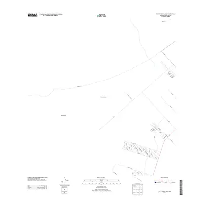
2013 Map of Puumakaala
USGS Topo · Published 2013About this map
Pu‘umaka‘ala dominates this portion of the Island of Hawai‘i, a landscape characterized by the transition between high-elevation terrain and agricultural development. The map details the grid-like residential and agricultural infrastructure of the Morihana Farm Lots, showing a deliberate expansion of access roads including 28th Rd through 22nd Rd. Transportation across this upland region relies on the long, arcing path of the Stainback Hwy and Ihope Rd, which connect the more densely settled lowland peripheries to the interior.
Find a feature on this map
65 named features on this map. Tap any name to fly to it.
Don’t see what you’re looking for? This feature index may not catch every label — zoom into the map to look around manually.
Map Details
Editions of this 2013 Puumakaala Map
This is the sole edition of this map. No revisions or reprints were ever made.
Other maps of this area

1917 · Hilo
USGS Topo · 1:62,500

1921 · Kilauea
USGS Topo · 1:62,500

1922 · Puna
USGS Topo · 1:62,500

1924 · Kilauea
USGS Topo · 1:62,500

1924 · Puna
USGS Topo · 1:62,500

1930 · Humuula
USGS Topo · 1:62,500

1932 · Hilo
USGS Topo · 1:62,500

1954 · Hawaii South
USGS Topo · 1:250,000

1954 · Hawaii North
USGS Topo · 1:250,000

1956 · Upper Piihonua
USGS Topo · 1:24,000