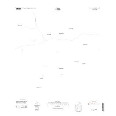
2013 Map of Puuulaula
USGS Topo · Published 2013About this map
Island of Hawai'i's volcanic activity is the defining characteristic of this landscape, where the Northeast Rift Zone is marked by a complex history of eruptions. The map serves as a geological chronicle, documenting the extent of numerous distinct events such as the Lava Flow of 1880, the Lava Flow of 1935, and the Lava Flow of 1942. These flows intersect and overlap across the terrain, illustrating the evolving shape of the land over more than a century of activity. High-elevation features like the Wood Valley Pit Crater and volcanic cones including Pu'u'ula'ula and Pu'uhoakolei dominate the topography. Modern infrastructure is sparse in this active zone, represented primarily by the Mauna Loa Access Rd winding through the more recent deposits.
Find a feature on this map
19 named features on this map. Tap any name to fly to it.
Don’t see what you’re looking for? This feature index may not catch every label — zoom into the map to look around manually.
Map Details
Editions of this 2013 Puuulaula Map
This is the sole edition of this map. No revisions or reprints were ever made.
Other maps of this area

1921 · Kilauea
USGS Topo · 1:62,500

1924 · Kilauea
USGS Topo · 1:62,500

1927 · Kaohe
USGS Topo · 1:62,500

1928 · Mauna Loa
USGS Topo · 1:62,500

1930 · Humuula
USGS Topo · 1:62,500

1930 · Kaohe
USGS Topo · 1:62,500

1954 · Hawaii South
USGS Topo · 1:250,000

1954 · Hawaii North
USGS Topo · 1:250,000

1956 · Puu Oo
USGS Topo · 1:24,000

1956 · Puu Koli
USGS Topo · 1:24,000