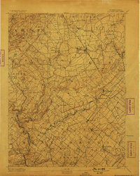
1894 Map of Quakertown
USGS Topo · Published 1898About this map
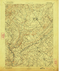
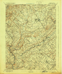
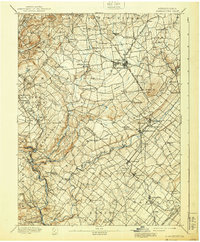
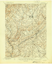
Quakertown and the surrounding townships of Richland and Milford dominate this late 19th-century landscape, characterized by a dense network of post-colonial settlements and burgeoning industrial corridors. The survey captures the region just as the Phila. and Reading Railroad and the Perkiomen Railroad were solidifying the connection between the Lehigh Valley and Philadelphia markets. Waterways like the Tohickon Creek and Perkiomen Creek wind through the terrain, historically providing power for the mills that anchored communities such as Sellersville and Perkasie.
Find a feature on this map
93 named features on this map. Tap any name to fly to it.
Don’t see what you’re looking for? This feature index may not catch every label — zoom into the map to look around manually.
Map Details
Editions of this 1894 Quakertown Map
9 editions found
Other maps of this area

1888 · Quakertown
USGS Topo · 1:62,500

1890 · Easton
USGS Topo · 1:62,500

1890 · Doylestown
USGS Topo · 1:62,500

1890 · Quakertown
USGS Topo · 1:62,500

1891 · Easton
USGS Topo · 1:62,500

1891 · Doylestown
USGS Topo · 1:62,500

1893 · Germantown
USGS Topo · 1:62,500

1894 · Allentown
USGS Topo · 1:62,500

1894 · Quakertown
USGS Topo · 1:62,500

1894 · Norristown
USGS Topo · 1:62,500
Featured Places
- Limerick Township, PA
- Skippack Township, PA
- Franconia Township, PA
- Hilltown Township, PA
- Harleysville, Lower Salford Township