
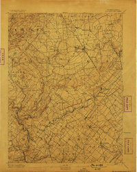
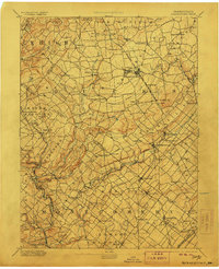
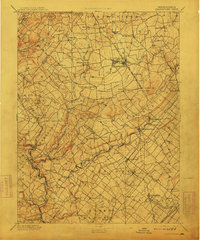
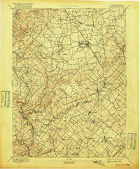
1894 Map of Quakertown
USGS Topo · Published 1894About this map
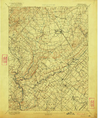
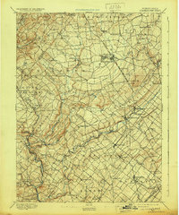
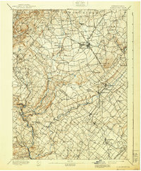
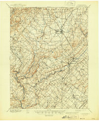
Quakertown and its surrounding townships in Bucks, Montgomery, and Lehigh counties serve as the focal point for this late nineteenth-century survey. The landscape is defined by a dense network of nineteenth-century villages such as Richlandtown, Trumbauersville, and Pennsburg, many of which were established as agricultural hubs or stops along the burgeoning rail lines. The Bethlehem Branch Phila. and Reading Railroad cuts a north-south path through the center of the sheet, facilitating growth in towns like Perkasie and Sellersville.
Find a feature on this map
93 named features on this map. Tap any name to fly to it.
Don’t see what you’re looking for? This feature index may not catch every label — zoom into the map to look around manually.
Map Details
Editions of this 1894 Quakertown Map
9 editions found
Other maps of this area

1888 · Quakertown
USGS Topo · 1:62,500

1890 · Easton
USGS Topo · 1:62,500

1890 · Doylestown
USGS Topo · 1:62,500

1890 · Quakertown
USGS Topo · 1:62,500

1891 · Easton
USGS Topo · 1:62,500

1891 · Doylestown
USGS Topo · 1:62,500

1893 · Germantown
USGS Topo · 1:62,500

1894 · Allentown
USGS Topo · 1:62,500

1894 · Norristown
USGS Topo · 1:62,500

1894 · Germantown
USGS Topo · 1:62,500
Featured Places
- Limerick Township, PA
- Skippack Township, PA
- Franconia Township, PA
- Hilltown Township, PA
- Harleysville, Lower Salford Township