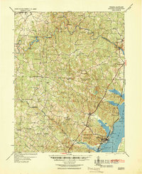
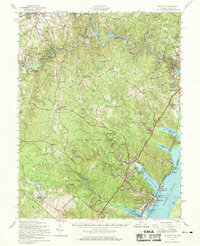
1940 Map of Quantico
USGS Topo · Published 1943About this map
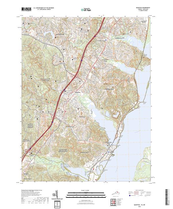
The U S Marine Corps Reservation dominates the southern landscape of this 1940 tactical survey, highlighting the military's growing footprint along the Potomac River as the nation prepared for war. The terrain transition from the coastal plain at Cherry Hill to the interior uplands is marked by a network of historic river crossings, including Wood Yards Ford, Davis Ford, and the Blands Ford Bridge over Occoquan Creek.
Find a feature on this map
75 named features on this map. Tap any name to fly to it.
Don’t see what you’re looking for? This feature index may not catch every label — zoom into the map to look around manually.
Map Details
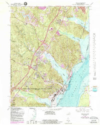
Editions of this 1940 Quantico Map
2 editions found

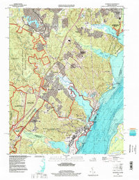
Historical Maps of Dale City Through Time
11 maps found

1927 Quantico
Prince William County, VA
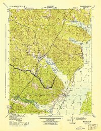
1940 Quantico
Prince William County, VA

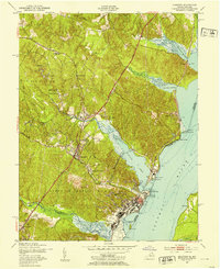
1943 Quantico
Prince William County, VA
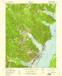
1944 Quantico
Prince William County, VA
1952 Quantico
Prince William County, VA
1956 Quantico
Prince William County, VA
1957 Quantico
Prince William County, VA
1966 Quantico
Prince William County, VA
1977 Quantico
Prince William County, VA
1994 Quantico
Prince William County, VA
2022 Quantico
Prince William County, VA