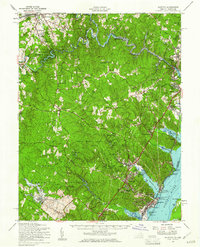
1957 Map of Quantico
USGS Topo · Published 1961About this map
Quantico Marine Base dominates the southern landscape of Prince William County, bordering the wide Potomac River and Chopawamsic Creek. This mid-century survey captures the region as suburban expansion began to reach southward from Manassas and Woodbridge. The winding Occoquan River serves as a natural boundary to the north, where the D C Dept of Corrections facilities and water filtration plant are established near Agnewville.
Find a feature on this map
82 named features on this map. Tap any name to fly to it.
Don’t see what you’re looking for? This feature index may not catch every label — zoom into the map to look around manually.
Map Details
Editions of this 1957 Quantico Map
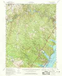
2 editions found
Other maps of this area

1887 · Spottsylvania
USGS Topo · 1:125,000

1889 · Fredericksburg
USGS Topo · 1:125,000

1890 · Mt. Vernon
USGS Topo · 1:125,000

1891 · Mt. Vernon
USGS Topo · 1:125,000

1892 · Fredericksburg
USGS Topo · 1:125,000

1892 · Spottsylvania
USGS Topo · 1:125,000

1894 · Warrenton
USGS Topo · 1:125,000

1894 · Fredericksburg
USGS Topo · 1:125,000

1894 · Mt. Vernon
USGS Topo · 1:125,000

1897 · Mt. Vernon
USGS Topo · 1:125,000