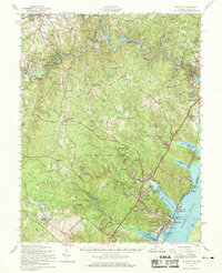
1957 Map of Quantico
USGS Topo · Published 1969About this map
The Quantico Marine Base and the expansive Prince William Forest Park dominate this mid-century survey of the Potomac River shoreline. Grounded in the post-war expansion of Northern Virginia, the map documents a mix of military infrastructure, including the Marine Corps Schools and a Naval Hospital, alongside suburbanizing communities such as Triangle and Dumfries. Evidence of mid-century planning is visible in the footprint for the Lunga Reservoir (Proposed) and the development of Garfield Estates. Away from the main river corridors, rural life persists through landmarks like Oak Grove Ch, Independent Hill, and Boswells Store. The landscape transitions from the industrialized waterfront near the Power Station at Possum Nose to the secluded woodland camps within the park, such as Camp No 1, reflecting a region balancing national defense needs with residential growth.
Find a feature on this map
84 named features on this map. Tap any name to fly to it.
Don’t see what you’re looking for? This feature index may not catch every label — zoom into the map to look around manually.
Map Details
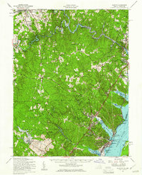
Editions of this 1957 Quantico Map
2 editions found
Other maps of this area

1887 · Spottsylvania
USGS Topo · 1:125,000

1889 · Fredericksburg
USGS Topo · 1:125,000

1890 · Mt. Vernon
USGS Topo · 1:125,000

1891 · Mt. Vernon
USGS Topo · 1:125,000

1892 · Fredericksburg
USGS Topo · 1:125,000

1892 · Spottsylvania
USGS Topo · 1:125,000

1894 · Warrenton
USGS Topo · 1:125,000

1894 · Fredericksburg
USGS Topo · 1:125,000

1894 · Mt. Vernon
USGS Topo · 1:125,000

1897 · Mt. Vernon
USGS Topo · 1:125,000