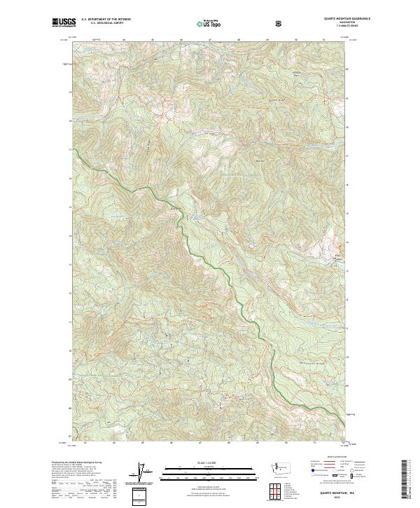
2023 Map of Quartz Mountain
USGS Topo · Published 2023About this map
Peaches Ridge and Taneum Ridge dominate this high-elevation landscape within the Wenatchee National Forest and Snoqualmie National Forest. The 2023 survey documents a complex network of recreational and service paths, including the Quartz Mountain Tri and Manastash Ridge Tri. Water features are concentrated in high basins, notably Taneum Lake and the smaller Lily Pond Lake, which feed the many-forked headwaters of Manastash Creek and North Fork Taneum Creek. The presence of specialized routes like the 4wd Kanger Flat Tri reflects the modern management of this backcountry terrain, while names like Fishhook Flats and Hereford Meadow recall the area's historical land use for grazing and forestry.
Find a feature on this map
46 named features on this map. Tap any name to fly to it.
Don’t see what you’re looking for? This feature index may not catch every label — zoom into the map to look around manually.
Map Details
Editions of this 2023 Quartz Mountain Map
This is the sole edition of this map. No revisions or reprints were ever made.
Other maps of this area

1897 · Mount Stuart
USGS Topo · 1:125,000

1899 · Ellensburg
USGS Topo · 1:125,000

1901 · Ellensburg
USGS Topo · 1:125,000

1901 · Snoqualmie Pass
USGS Topo · 1:125,000

1902 · Mount Aix
USGS Topo · 1:125,000

1902 · Mount Stuart
USGS Topo · 1:125,000

1903 · Snoqualmie
USGS Topo · 1:125,000

1904 · Mt Aix
USGS Topo · 1:125,000

1950 · Yakima
USGS Topo · 1:250,000

1957 · Wenatchee
USGS Topo · 1:250,000