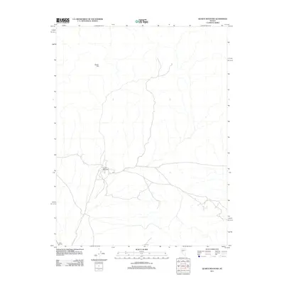
2011 Map of Quartz Mountain
USGS Topo · Published 2011About this map
Quartz Mountain stands as the central landmark of this high-desert Nevada terrain, where a network of unpaved roads and tracks crisscrosses the arid landscape. The area is characterized by isolated outposts like Broken Hills to the north and Mud Springs in the southwest, reflecting the sparse settlement patterns typical of this mining-rich region of Nye County. The map provides a detailed view of the drainage patterns and desert floor before any major modern development, documenting the primitive road system that connects these remote points of interest. These locations have long served as focal points for mineral exploration and desert travel, maintaining a character of isolation well into the twenty-first century.
Find a feature on this map
3 named features on this map. Tap any name to fly to it.
Don’t see what you’re looking for? This feature index may not catch every label — zoom into the map to look around manually.
Map Details
Editions of this 2011 Quartz Mountain Map
This is the sole edition of this map. No revisions or reprints were ever made.
Other maps of this area

1907 · Tonopah
USGS Topo · 1:250,000

1908 · Tonopah
USGS Topo · 1:250,000

1908 · Carson Sink
USGS Topo · 1:250,000

1909 · Hawthorne
USGS Topo · 1:250,000

1910 · Carson Sink
USGS Topo · 1:250,000

1911 · Hawthorne
USGS Topo · 1:250,000

1915 · Hawthorne
USGS Topo · 1:250,000

1948 · Paradise Peak
USGS Topo · 1:62,500

1948 · Walker Lake
USGS Topo · 1:250,000

1950 · Paradise Peak
USGS Topo · 1:62,500