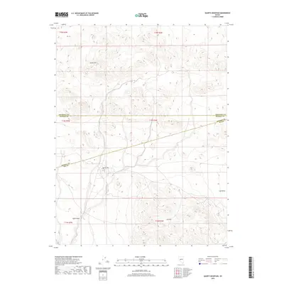
2018 Map of Quartz Mountain
USGS Topo · Published 2018About this map
Broken Hills defines the northern reaches of this high-desert landscape where Churchill and Mineral Counties meet. The terrain is marked by the broad basins of Gabbs Valley to the southwest and Lodi Valley to the southeast, separated by the uplift of the Lodi Hills. This area of central Nevada represents a classic Basin and Range environment, characterized by expansive valleys and internal drainage patterns that shaped early exploration and travel routes between isolated mining districts. The survey captures the transition between county lines and the vast, open stretches of the Great Basin, where topography dictated the placement of early roads and ranching operations.
Find a feature on this map
12 named features on this map. Tap any name to fly to it.
Don’t see what you’re looking for? This feature index may not catch every label — zoom into the map to look around manually.
Map Details
Editions of this 2018 Quartz Mountain Map
This is the sole edition of this map. No revisions or reprints were ever made.
Other maps of this area

1907 · Tonopah
USGS Topo · 1:250,000

1908 · Tonopah
USGS Topo · 1:250,000

1908 · Carson Sink
USGS Topo · 1:250,000

1909 · Hawthorne
USGS Topo · 1:250,000

1910 · Carson Sink
USGS Topo · 1:250,000

1911 · Hawthorne
USGS Topo · 1:250,000

1915 · Hawthorne
USGS Topo · 1:250,000

1948 · Paradise Peak
USGS Topo · 1:62,500

1948 · Walker Lake
USGS Topo · 1:250,000

1950 · Paradise Peak
USGS Topo · 1:62,500