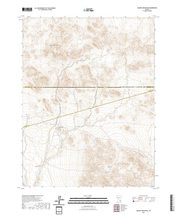
2021 Map of Quartz Mountain
USGS Topo · Published 2021About this map
Broken Hills and Quartz Mtn dominate this high-desert landscape in central Nevada, situated where Churchill, Mineral, and Nye counties converge. The terrain is defined by the sharp transition from these elevated ranges into the expansive basins of Lodi Valley to the east and Gabbs Valley to the southwest. This modern topographical study captures the rugged land patterns near the historical mining districts of the area, though only the natural features and county boundaries are prominently marked. To the south, the Lodi Hills rise from the valley floor, showing the characteristic geological folding of the region. The map preserves the exact administrative lines of the Churchill County and Mineral County border, alongside the Mineral County and Nye County line, providing a precise spatial reference for the three-county junction.
Find a feature on this map
13 named features on this map. Tap any name to fly to it.
Don’t see what you’re looking for? This feature index may not catch every label — zoom into the map to look around manually.
Map Details
Editions of this 2021 Quartz Mountain Map
This is the sole edition of this map. No revisions or reprints were ever made.
Other maps of this area

1907 · Tonopah
USGS Topo · 1:250,000

1908 · Tonopah
USGS Topo · 1:250,000

1908 · Carson Sink
USGS Topo · 1:250,000

1909 · Hawthorne
USGS Topo · 1:250,000

1910 · Carson Sink
USGS Topo · 1:250,000

1911 · Hawthorne
USGS Topo · 1:250,000

1915 · Hawthorne
USGS Topo · 1:250,000

1948 · Paradise Peak
USGS Topo · 1:62,500

1948 · Walker Lake
USGS Topo · 1:250,000

1950 · Paradise Peak
USGS Topo · 1:62,500