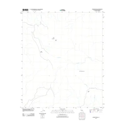
2012 Map of Quartz Peak
USGS Topo · Published 2012About this map
Peter Kane Mountain and the prominent Quartz Peak anchor this arid landscape within Imperial County, California. The terrain is defined by complex drainage systems and volcanic ridges, where ephemeral waterways like Vinagre Wash and Julian Wash carve through the desert floor. The presence of the Peter Kane Water Hole suggests a critical, if seasonal, water source in an otherwise parched environment.
Find a feature on this map
12 named features on this map. Tap any name to fly to it.
Don’t see what you’re looking for? This feature index may not catch every label — zoom into the map to look around manually.
Map Details
Editions of this 2012 Quartz Peak Map
This is the sole edition of this map. No revisions or reprints were ever made.
Other maps of this area

1903 · Yuma
USGS Topo · 1:125,000

1905 · Yuma
USGS Topo · 1:125,000

1942 · Yuma
USGS Topo · 1:250,000

1942 · Blythe
USGS Topo · 1:250,000

1945 · Picacho Peak
USGS Topo · 1:62,500

1945 · Picacho
USGS Topo · 1:62,500

1951 · Picacho
USGS Topo · 1:62,500

1951 · Picacho Peak
USGS Topo · 1:62,500

1953 · Quartz Peak
USGS Topo · 1:62,500

1953 · Ogilby
USGS Topo · 1:62,500