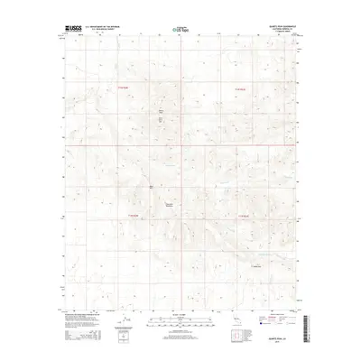
2015 Map of Quartz Peak
USGS Topo · Published 2015About this map
Chocolate Mountains terrain dominates this desert landscape, characterized by a complex network of ephemeral drainages and prominent peaks. The map details a rugged hydrologic system where Vinagre Wash, Julian Wash, and Gavilan Wash carve through the arid topography. These washes serve as the primary geographical markers in an area defined more by its natural landmarks than by human settlement. Significant elevations include Quartz Peak and Peter Kane Mtn, which provide vertical orientation within the surrounding basins. A notable point of human or animal historical interest is the Peter Kane Water Hole, a critical desert resource located in the northern reaches. To the south, Indian Pass marks a strategic natural corridor through the ridgelines, while Black Mtn stands as another major landmark amidst the sprawling desert floor and rocky outcrops.
Find a feature on this map
14 named features on this map. Tap any name to fly to it.
Don’t see what you’re looking for? This feature index may not catch every label — zoom into the map to look around manually.
Map Details
Editions of this 2015 Quartz Peak Map
This is the sole edition of this map. No revisions or reprints were ever made.
Other maps of this area

1903 · Yuma
USGS Topo · 1:125,000

1905 · Yuma
USGS Topo · 1:125,000

1942 · Yuma
USGS Topo · 1:250,000

1942 · Blythe
USGS Topo · 1:250,000

1945 · Picacho Peak
USGS Topo · 1:62,500

1945 · Picacho
USGS Topo · 1:62,500

1951 · Picacho
USGS Topo · 1:62,500

1951 · Picacho Peak
USGS Topo · 1:62,500

1953 · Quartz Peak
USGS Topo · 1:62,500

1953 · Ogilby
USGS Topo · 1:62,500