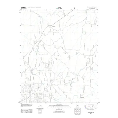
2011 Map of Quayle Hill
USGS Topo · Published 2011About this map
Quayle Hill and Red Hill anchor this high-elevation landscape in Coconino County, defined by a critical network of water management features and remote aviation strips. The terrain is marked by dozens of livestock tanks, such as Thistle Tank, McDermid Tank, and Soldier Trail Tank, which highlight the area's importance for ranching and forest management. Small aviation facilities like the Brown Landing Strip and AZ Landing Strip provide essential access points to this isolated plateau.
Find a feature on this map
55 named features on this map. Tap any name to fly to it.
Don’t see what you’re looking for? This feature index may not catch every label — zoom into the map to look around manually.
Map Details
Editions of this 2011 Quayle Hill Map
This is the sole edition of this map. No revisions or reprints were ever made.
Other maps of this area

1886 · Holbrook
USGS Topo · 1:250,000

1887 · Verde
USGS Topo · 1:250,000

1892 · Verde
USGS Topo · 1:250,000

1893 · Holbrook
USGS Topo · 1:250,000

1954 · Holbrook
USGS Topo · 1:250,000

1955 · Sunset Knoll 2 SW
USGS Topo · 1:24,000

1955 · Sunset Pass
USGS Topo · 1:62,500

1957 · Holbrook
USGS Topo · 1:250,000

1958 · Holbrook
USGS Topo · 1:250,000

1960 · Holbrook
USGS Topo · 1:250,000