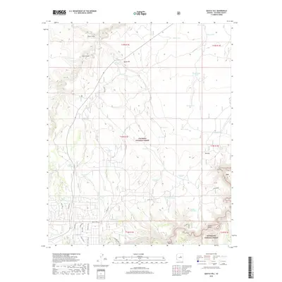
2018 Map of Quayle Hill
USGS Topo · Published 2018About this map
Coconino National Forest and Sitgreaves National Forest meet in this high-altitude landscape of northern Arizona. The terrain is defined by a complex network of stock tanks and seasonal drainages, such as Chavez Draw and Jacks Canyon, which have historically supported ranching operations in the region. Notable water sources include Cow Trap Tank, Turkey Seep, and the uniquely named Tank in the Road. Toward the south, the landscape drops toward E Clear Cr near Leonard Point. This 2018 survey also documents a growing residential footprint at the forest edge, with a dense grid of local roads like Starlight Dr and Green Forest Rd emerging near the boundary of the national forests. Historical transit is represented by Soldiers Crossing and the Soldier Trail Tank, suggesting long-established routes through this woodland terrain.
Find a feature on this map
61 named features on this map. Tap any name to fly to it.
Don’t see what you’re looking for? This feature index may not catch every label — zoom into the map to look around manually.
Map Details
Editions of this 2018 Quayle Hill Map
This is the sole edition of this map. No revisions or reprints were ever made.
Other maps of this area

1886 · Holbrook
USGS Topo · 1:250,000

1887 · Verde
USGS Topo · 1:250,000

1892 · Verde
USGS Topo · 1:250,000

1893 · Holbrook
USGS Topo · 1:250,000

1954 · Holbrook
USGS Topo · 1:250,000

1955 · Sunset Knoll 2 SW
USGS Topo · 1:24,000

1955 · Sunset Pass
USGS Topo · 1:62,500

1957 · Holbrook
USGS Topo · 1:250,000

1958 · Holbrook
USGS Topo · 1:250,000

1960 · Holbrook
USGS Topo · 1:250,000