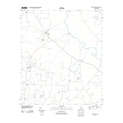
2011 Map of Queensland
USGS Topo · Published 2011About this map
Bowens Mill serves as a local landmark along House Creek, where industrial history meets natural resource management at the Bowens Mill State Fish Hatchery. The landscape in this part of Georgia is defined by the winding course of the Ocmulgee River, which marks the northeastern boundary and features the distinct Red Bluff. The area's rural character is underscored by scattered settlements like Queensland, Lulaville, and Forest Glen, linked by a network of county roads. Genealogists will find a wealth of local history in the numerous small burial grounds, including Dixon Cemetery, Evergreen Cemetery, and the Vaughn Tabernacle Cemetery. Water management is prominent throughout the terrain, with several engineered structures such as Wilson Dam and the Tuggle Lake Dam creating recreational and utility reservoirs like W J Wilson Lake and Tuggle Lake.
Find a feature on this map
63 named features on this map. Tap any name to fly to it.
Don’t see what you’re looking for? This feature index may not catch every label — zoom into the map to look around manually.
Map Details
Editions of this 2011 Queensland Map
This is the sole edition of this map. No revisions or reprints were ever made.
Other maps of this area

1953 · Waycross
USGS Topo · 1:250,000

1958 · Waycross
USGS Topo · 1:250,000

1972 · Cooks Still
USGS Topo · 1:24,000

1972 · Fitzgerald East
USGS Topo · 1:24,000

1972 · China Hill
USGS Topo · 1:24,000

1972 · Queensland
USGS Topo · 1:24,000

1973 · Fitzgerald West
USGS Topo · 1:24,000
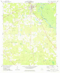
1974 · Abbeville South
USGS Topo · 1:24,000

1977 · Osierfield
USGS Topo · 1:24,000
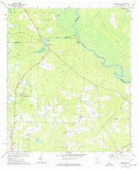
1977 · Queensland
USGS Topo · 1:24,000