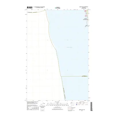
2017 Map of Queets OE W
USGS Topo · Published 2017About this map
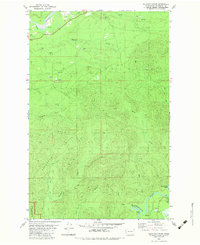
Pacific Ocean waters dominate this coastal survey, where the rugged shoreline of the Olympic Peninsula meets the sea. The map documents a critical stretch of the Olympic National Park boundary, capturing the narrow corridor where U.S. Route 101 winds along the coast. The rocky marine environment is highlighted by Kalaloch Rocks, a series of outcrops situated just off the beach. This modern cartographic study also serves as a precise record of administrative lines, specifically where Jefferson County and Grays Harbor County meet along the shoreline. The orientation of the survey emphasizes the interplay between protected federal lands and the vast maritime expanse of the Washington coast.
Find a feature on this map
12 named features on this map. Tap any name to fly to it.
Don’t see what you’re looking for? This feature index may not catch every label — zoom into the map to look around manually.
Map Details
Editions of this 2017 Queets OE W Map
This is the sole edition of this map. No revisions or reprints were ever made.
Other maps of this area

1943 · Copalis Beach
USGS Topo · 1:250,000

1951 · Copalis Beach
USGS Topo · 1:250,000

1955 · Taholah
USGS Topo · 1:62,500

1956 · Destruction Island
USGS Topo · 1:62,500

1957 · Copalis Beach
USGS Topo · 1:250,000

1963 · Copalis Beach
USGS Topo · 1:250,000
1980 · Copalis Beach
USGS Topo · 1:100,000
1982 · Destruction Island
USGS Topo · 1:24,000
1982 · Tunnel Island
USGS Topo · 1:24,000
1982 · Kalaloch Ridge
USGS Topo · 1:24,000