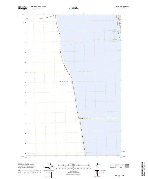
2023 Map of Queets OE W
USGS Topo · Published 2023About this map
The coast of Jefferson County meets the Pacific Ocean along this narrow littoral strip, where land and sea converge at the edge of the Olympic Peninsula. Much of the terrestrial area is preserved within Olympic National Park, reflecting a landscape defined by federal conservation rather than urban development. The primary artery for travel is US 101 Kalaloch, which skirts the shoreline and provides access to the coastal wilderness. This map illustrates the intersection of a major national highway with a protected maritime environment, documenting the township boundaries of t25n r13w and t24n r13w as they reach the breaking surf of the Pacific.
Find a feature on this map
5 named features on this map. Tap any name to fly to it.
Don’t see what you’re looking for? This feature index may not catch every label — zoom into the map to look around manually.
Map Details
Editions of this 2023 Queets OE W Map
This is the sole edition of this map. No revisions or reprints were ever made.
Other maps of this area

1943 · Copalis Beach
USGS Topo · 1:250,000

1951 · Copalis Beach
USGS Topo · 1:250,000

1955 · Taholah
USGS Topo · 1:62,500

1956 · Destruction Island
USGS Topo · 1:62,500

1957 · Copalis Beach
USGS Topo · 1:250,000

1963 · Copalis Beach
USGS Topo · 1:250,000
1980 · Copalis Beach
USGS Topo · 1:100,000
1982 · Destruction Island
USGS Topo · 1:24,000
1982 · Tunnel Island
USGS Topo · 1:24,000
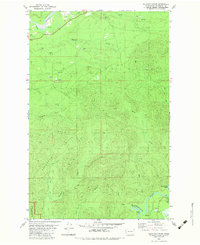
1982 · Kalaloch Ridge
USGS Topo · 1:24,000