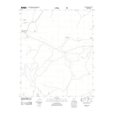
2011 Map of Quemado
USGS Topo · Published 2011About this map
Quemado serves as the primary hub of this high-altitude landscape, situated where Old Quemado Rd meets the modern highway corridor. The town's civic core is anchored by the Quemado Post Office and the Quemado District Ranger Office, while the Quemado Community Cemetery sits just to the north, providing a point of interest for genealogists and local historians. The surrounding terrain is defined by a network of seasonal watercourses and drainages, such as the Baca Arroyo and Rito Creek, which flow through the high plains toward more substantial channels like Escondido Creek and Mangas Creek. To the east, the landscape reveals localized water sources essential for ranching and settlement, including Sweazea Lake, San Ignacio Spring, and Nutria Spring. Named features like Wilbur Wadley Draw and Sweazea Draw further suggest the generational family ties to the land in this corner of Catron County.
Find a feature on this map
17 named features on this map. Tap any name to fly to it.
Don’t see what you’re looking for? This feature index may not catch every label — zoom into the map to look around manually.
Map Details
Editions of this 2011 Quemado Map
This is the sole edition of this map. No revisions or reprints were ever made.
Other maps of this area

1954 · Saint Johns
USGS Topo · 1:250,000

1957 · Saint Johns
USGS Topo · 1:250,000

1958 · Saint Johns
USGS Topo · 1:250,000

1962 · Saint Johns
USGS Topo · 1:250,000

1967 · Omega
USGS Topo · 1:24,000

1967 · Mariano Springs
USGS Topo · 1:24,000

1967 · Adams Diggings
USGS Topo · 1:24,000

1967 · Quemado
USGS Topo · 1:24,000

1972 · Tejana Mesa
USGS Topo · 1:24,000
1972 · Armstrong Canyon
USGS Topo · 1:24,000