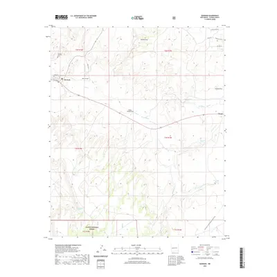
2020 Map of Quemado
USGS Topo · Published 2020About this map
Quemado stands as the primary settlement in this high-altitude landscape of western Catron County, anchored by local sites like the Quemado Community Cem. The map illustrates a region defined by water management and natural drainages, where named features such as Baca Arroyo, Rito Cr, and Escondido Cr intersect the local road network. The settlement of Omega lies to the east, positioned near the headwaters of San Ignacio Cr.
Find a feature on this map
31 named features on this map. Tap any name to fly to it.
Don’t see what you’re looking for? This feature index may not catch every label — zoom into the map to look around manually.
Map Details
Editions of this 2020 Quemado Map
This is the sole edition of this map. No revisions or reprints were ever made.
Other maps of this area

1954 · Saint Johns
USGS Topo · 1:250,000

1957 · Saint Johns
USGS Topo · 1:250,000

1958 · Saint Johns
USGS Topo · 1:250,000

1962 · Saint Johns
USGS Topo · 1:250,000
1967 · Omega
USGS Topo · 1:24,000
1967 · Mariano Springs
USGS Topo · 1:24,000
1967 · Adams Diggings
USGS Topo · 1:24,000
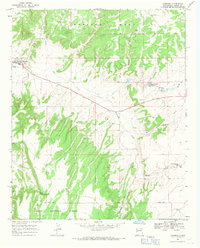
1967 · Quemado
USGS Topo · 1:24,000
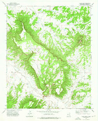
1972 · Tejana Mesa
USGS Topo · 1:24,000
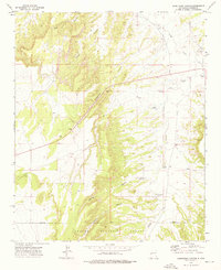
1972 · Armstrong Canyon
USGS Topo · 1:24,000