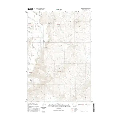
2017 Map of Quigley Butte
USGS Topo · Published 2017About this map
Trout Lake Valley serves as a geographic centerpiece for this portion of the Pacific Northwest, where the White Salmon River flows through a landscape defined by volcanic formations and creek drainage. The settlement of Trout Lake is situated at the foot of Little Mtn, surrounded by family-named landmarks and agricultural clearings such as Bob's Field. The network of country roads, including Trout Lake Cemetery Rd and Trout Lake Laurel Rd, connects the central valley to the high ground of Quigley Butte and Gross Mtn.
Find a feature on this map
50 named features on this map. Tap any name to fly to it.
Don’t see what you’re looking for? This feature index may not catch every label — zoom into the map to look around manually.
Map Details
Editions of this 2017 Quigley Butte Map
This is the sole edition of this map. No revisions or reprints were ever made.
Other maps of this area

1904 · Mount Adams
USGS Topo · 1:125,000

1907 · Mount Adams
USGS Topo · 1:125,000

1926 · Steamboat Mtn
USGS Topo · 1:125,000

1926 · Hood River
USGS Topo · 1:125,000

1929 · Hood River
USGS Topo · 1:125,000

1931 · Steamboat Mtn
USGS Topo · 1:125,000

1934 · The Dalles
USGS Topo · 1:125,000

1950 · Yakima
USGS Topo · 1:250,000

1953 · The Dalles
USGS Topo · 1:250,000

1956 · The Dalles
USGS Topo · 1:250,000