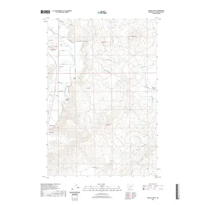
2020 Map of Quigley Butte
USGS Topo · Published 2020About this map
White Salmon River drainage patterns define the geography of this part of Klickitat County, where the landscape transitions between the agricultural lowlands and volcanic uplands. The Trout Lake Valley provides a level base for local settlements like Bob's Field and Laurel, while the surrounding terrain is marked by prominent peaks such as Quigley Butte, Gross Mtn, and Little Mtn.
Find a feature on this map
46 named features on this map. Tap any name to fly to it.
Don’t see what you’re looking for? This feature index may not catch every label — zoom into the map to look around manually.
Map Details
Editions of this 2020 Quigley Butte Map
This is the sole edition of this map. No revisions or reprints were ever made.
Other maps of this area

1904 · Mount Adams
USGS Topo · 1:125,000

1907 · Mount Adams
USGS Topo · 1:125,000

1926 · Steamboat Mtn
USGS Topo · 1:125,000

1926 · Hood River
USGS Topo · 1:125,000

1929 · Hood River
USGS Topo · 1:125,000

1931 · Steamboat Mtn
USGS Topo · 1:125,000

1934 · The Dalles
USGS Topo · 1:125,000

1950 · Yakima
USGS Topo · 1:250,000

1953 · The Dalles
USGS Topo · 1:250,000

1956 · The Dalles
USGS Topo · 1:250,000