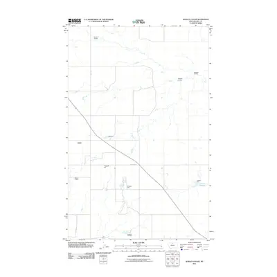
2011 Map of Quigley Coulee
USGS Topo · Published 2011About this map
Grainbelt Cemetery stands as a quiet marker of early Hill County settlement on this high plains landscape. The terrain is defined by complex drainage patterns, where Quigley Coulee, Carske Coulee, and Lohman Coulee carve into the northern Montana soil. This 2011 survey reveals an environment shaped by local water management, featuring a series of small-scale impoundments such as Michigan Dam, Velk Dam, and Supenau Lake Dam that supported ranching operations. Near The Forks, the land rises toward Flagstaff Hill, a prominent landmark for travelers navigating via Flagstaff Rd and Amos Trl. The map documents a sparsely populated region where family-named features like Morse D Dam and Lohman Reservoir highlight the importance of water rights and geographic legacies in this part of the state.
Find a feature on this map
17 named features on this map. Tap any name to fly to it.
Don’t see what you’re looking for? This feature index may not catch every label — zoom into the map to look around manually.
Map Details
Editions of this 2011 Quigley Coulee Map
This is the sole edition of this map. No revisions or reprints were ever made.
Other maps of this area

1904 · Havre
USGS Topo · 1:62,500

1904 · Assinniboine
USGS Topo · 1:62,500

1912 · Thibedeau Lake
USGS Topo · 1:125,000

1953 · Havre
USGS Topo · 1:250,000

1957 · Havre
USGS Topo · 1:250,000

1958 · Havre
USGS Topo · 1:250,000

1964 · Havre NW
USGS Topo · 1:24,000

1964 · Havre
USGS Topo · 1:24,000
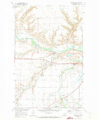
1970 · Herron Park
USGS Topo · 1:24,000
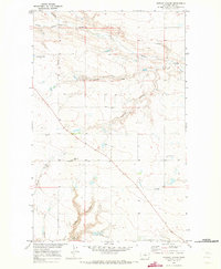
1970 · Quigley Coulee
USGS Topo · 1:24,000