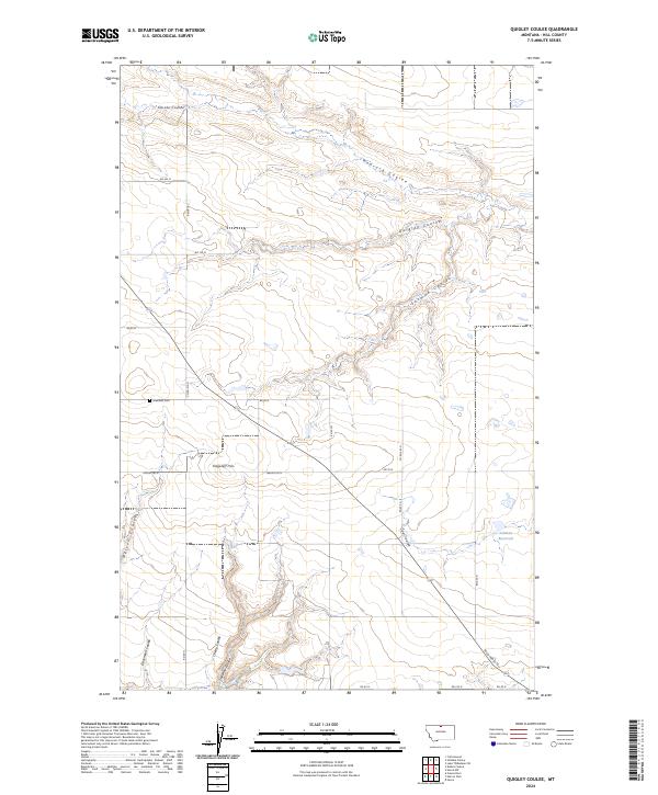
2024 Map of Quigley Coulee
USGS Topo · Published 2024About this map
Quigley Coulee and its neighboring seasonal drainages define the high plains landscape of Hill County in this northern Montana survey. The terrain is a network of coulees, including Redrock Coulee and Corske Coulee, that etch into the prairie toward the Lohman Reservoir. A notable landmark for navigation is Flagstaff Hill, which rises above the surrounding section lines and rural road networks.
Find a feature on this map
32 named features on this map. Tap any name to fly to it.
Don’t see what you’re looking for? This feature index may not catch every label — zoom into the map to look around manually.
Map Details
Editions of this 2024 Quigley Coulee Map
This is the sole edition of this map. No revisions or reprints were ever made.
Other maps of this area

1904 · Havre
USGS Topo · 1:62,500

1904 · Assinniboine
USGS Topo · 1:62,500

1912 · Thibedeau Lake
USGS Topo · 1:125,000

1953 · Havre
USGS Topo · 1:250,000

1957 · Havre
USGS Topo · 1:250,000

1958 · Havre
USGS Topo · 1:250,000

1964 · Havre NW
USGS Topo · 1:24,000

1964 · Havre
USGS Topo · 1:24,000
1970 · Herron Park
USGS Topo · 1:24,000
1970 · Quigley Coulee
USGS Topo · 1:24,000