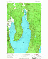
1953 Map of Quilcene
USGS Topo · Published 1967About this map
Quilcene and the surrounding waterfront of the Olympic Peninsula appear here during a period of mid-century coastal activity. The map focuses on the deep waters of Dabob Bay and Quilcene Bay, separated by the prominent Bolton Peninsula. This marine-centric landscape is defined by its working waterfronts, featuring the Quilcene Boat Haven and the State Shellfish Laboratory at Whitney Point. The presence of Bees Mill and an abandoned RR trestle suggests the evolving timber and transit economy of Jefferson County.
Find a feature on this map
39 named features on this map. Tap any name to fly to it.
Don’t see what you’re looking for? This feature index may not catch every label — zoom into the map to look around manually.
Map Details
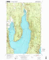
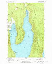
Editions of this 1953 Quilcene Map
4 editions found
Other maps of this area

1936 · Point Misery
USGS Topo · 1:62,500

1937 · Port Orchard
USGS Topo · 1:62,500

1937 · Port Gamble
USGS Topo · 1:62,500

1940 · Port Gamble
USGS Topo · 1:62,500

1940 · Point Misery
USGS Topo · 1:62,500

1940 · Quilcene
USGS Topo · 1:62,500

1953 · Seabeck
USGS Topo · 1:24,000

1953 · Poulsbo
USGS Topo · 1:24,000

1953 · Quilcene
USGS Topo · 1:24,000

1953 · Mt. Walker
USGS Topo · 1:24,000