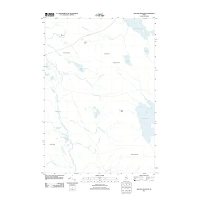
2011 Map of Quillpig Mountain
USGS Topo · Published 2011About this map
Quillpig Mountain rises above a landscape defined by an extensive network of waterways and ridges in this 2011 survey of Washington County. The Narraguagus River snakes through the western portion of the quadrangle, forming a prominent loop known as the Oxbow and collecting drainage from Allen Brook and Thompson Brook. This interior Maine terrain is largely undeveloped, with Stud Mill Rd serving as the primary corridor through the timberlands, connecting points near Bowers Pitch and Oak Mountain.
Find a feature on this map
31 named features on this map. Tap any name to fly to it.
Don’t see what you’re looking for? This feature index may not catch every label — zoom into the map to look around manually.
Map Details
Editions of this 2011 Quillpig Mountain Map
This is the sole edition of this map. No revisions or reprints were ever made.
Other maps of this area

1929 · Lead Mountain
USGS Topo · 1:48,000

1932 · Nicatous Lake
USGS Topo · 1:48,000

1932 · Lead Mountain
USGS Topo · 1:62,500

1934 · Nicatous Lake
USGS Topo · 1:62,500

1941 · Tug Mountain
USGS Topo · 1:62,500

1941 · Wabassus Lake
USGS Topo · 1:62,500

1943 · Tug Mountain
USGS Topo · 1:62,500

1943 · Wabassus Lake
USGS Topo · 1:62,500

1948 · Bangor
USGS Topo · 1:250,000

1953 · Wabassus Lake
USGS Topo · 1:62,500