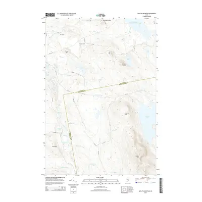
2014 Map of Quillpig Mountain
USGS Topo · Published 2014About this map
The Narraguagus River and its various branches dominate this interior Maine landscape, carving through a region defined by high ridges and numerous isolated water bodies. Significant topographic features like Quillpig Mountain and Pleasant Mtn rise above the surrounding terrain, while a network of timber and access roads, including Stud Mill Rd and Hootville Rd, provide the primary means of traversal through the dense woodlands.
Find a feature on this map
46 named features on this map. Tap any name to fly to it.
Don’t see what you’re looking for? This feature index may not catch every label — zoom into the map to look around manually.
Map Details
Editions of this 2014 Quillpig Mountain Map
This is the sole edition of this map. No revisions or reprints were ever made.
Other maps of this area

1929 · Lead Mountain
USGS Topo · 1:48,000

1932 · Nicatous Lake
USGS Topo · 1:48,000

1932 · Lead Mountain
USGS Topo · 1:62,500

1934 · Nicatous Lake
USGS Topo · 1:62,500

1941 · Tug Mountain
USGS Topo · 1:62,500

1941 · Wabassus Lake
USGS Topo · 1:62,500

1943 · Tug Mountain
USGS Topo · 1:62,500

1943 · Wabassus Lake
USGS Topo · 1:62,500

1948 · Bangor
USGS Topo · 1:250,000

1953 · Wabassus Lake
USGS Topo · 1:62,500