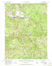
1951 Map of Quincy
USGS Topo · Published 1972About this map
Quincy serves as the focal point of this mid-century survey, surrounded by the high-elevation terrain of the Plumas National Forest. The map documents a transition from early extraction to a more modern infrastructure, noting the County Fairgrounds, Gansner Airport, and County Hospital near the town center. While industrial activity remains evident at the Crescent Hill Mine and Sugar Pine Mine, several earlier locations like Nelson Point and Onion Valley are already identified as sites rather than active settlements.
Find a feature on this map
135 named features on this map. Tap any name to fly to it.
Don’t see what you’re looking for? This feature index may not catch every label — zoom into the map to look around manually.
Map Details
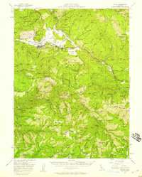
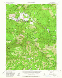
Editions of this 1951 Quincy Map
3 editions found
Other maps of this area

1886 · Honey Lake
USGS Topo · 1:250,000

1886 · Lassen Peak
USGS Topo · 1:250,000

1888 · Bidwell Bar
USGS Topo · 1:125,000

1891 · Bidwell Bar
USGS Topo · 1:125,000

1891 · Downieville
USGS Topo · 1:125,000

1891 · Honey Lake
USGS Topo · 1:250,000

1892 · Lassen Peak
USGS Topo · 1:250,000

1893 · Bidwell Bar
USGS Topo · 1:125,000

1893 · Honey Lake
USGS Topo · 1:250,000

1893 · Downieville
USGS Topo · 1:125,000