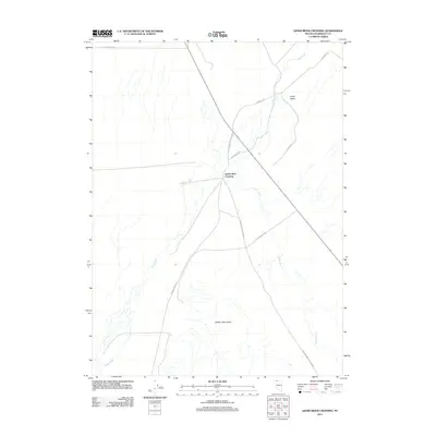
2011 Map of Quinn River Crossing
USGS Topo · Published 2011About this map
Quinn River Crossing serves as a central waypoint in this arid landscape of northern Humboldt County. The geography is defined by the winding course of the Quinn River and its tributary, Bilk Creek, as they move through Lovely Valley. The map illustrates a network of essential desert corridors, including the Old Winnemucca-Denio Rd and Leonard Creek Rd, which provide access to the foothills of the Jackson Mountains to the south. This terrain reflects the sparse settlement patterns and the reliance on established river crossings for navigation through the High Desert. Researchers can trace the intersections of rural routes like Ninemile Rd and Dufurrena Rd that linked remote ranching and grazing lands to the primary regional thoroughfares.
Find a feature on this map
11 named features on this map. Tap any name to fly to it.
Don’t see what you’re looking for? This feature index may not catch every label — zoom into the map to look around manually.
Map Details
Editions of this 2011 Quinn River Crossing Map
This is the sole edition of this map. No revisions or reprints were ever made.
Other maps of this area

1886 · Disaster
USGS Topo · 1:250,000

1893 · Disaster
USGS Topo · 1:250,000

1954 · Vya
USGS Topo · 1:250,000

1958 · Vya
USGS Topo · 1:250,000

1961 · Quinn River Crossing
USGS Topo · 1:62,500

1961 · Bottle Creek
USGS Topo · 1:62,500

1962 · Vya
USGS Topo · 1:250,000

1965 · Duffer Peak
USGS Topo · 1:62,500

1972 · Deer Creek Slough
USGS Topo · 1:24,000

1979 · Denio
USGS Topo · 1:100,000