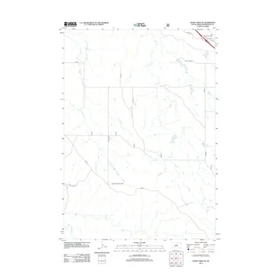
2012 Map of Quinn Table NE
USGS Topo · Published 2012About this map
Badlands National Park anchors the southern portion of this landscape, where the rugged drainages of Sage Creek and Middle Fork Sage Creek carve through the terrain. To the north, the settlement of Wall serves as a gateway, positioned near the Wall Municipal Airport and the transition between agricultural tablelands and the eroded breaks. The map documents a sparse network of section roads like 188th Ave and SW Wall Rd that navigate the high ground between deeply incised watercourses.
Find a feature on this map
17 named features on this map. Tap any name to fly to it.
Don’t see what you’re looking for? This feature index may not catch every label — zoom into the map to look around manually.
Map Details
Editions of this 2012 Quinn Table NE Map
This is the sole edition of this map. No revisions or reprints were ever made.
Other maps of this area

1953 · Rapid City
USGS Topo · 1:250,000

1954 · Wasta SE
USGS Topo · 1:24,000

1954 · Wasta
USGS Topo · 1:24,000

1954 · Quinn Table
USGS Topo · 1:24,000

1955 · Hot Springs
USGS Topo · 1:250,000

1957 · Rapid City
USGS Topo · 1:250,000

1960 · Quinn Table NE
USGS Topo · 1:24,000

1960 · Wall
USGS Topo · 1:24,000

1960 · Quinn Table SE
USGS Topo · 1:24,000
1960 · Wall SW
USGS Topo · 1:24,000