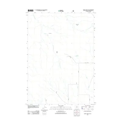
2012 Map of Quinn Table SE
USGS Topo · Published 2012About this map
Sage Creek Basin and Tyree Basin dominate this high-plains landscape, where the seasonal drainages of the Middle Fork Sage Cr and Sage Cr carve through the terrain of Pennington County. The map captures a largely open, rural expanse defined by these natural basins and the Sage Creek Pass, reflecting the drainage patterns that characterize the Badlands region of South Dakota. Human activity is sparse and centered primarily on the corridor of Huether Rd, which provides the main terrestrial access through this topographic landscape. This 2012 survey serves as a modern baseline for researchers tracking land use and watershed management in this specific quadrant of the state, where named landmarks are primarily geological rather than residential.
Find a feature on this map
11 named features on this map. Tap any name to fly to it.
Don’t see what you’re looking for? This feature index may not catch every label — zoom into the map to look around manually.
Map Details
Editions of this 2012 Quinn Table SE Map
This is the sole edition of this map. No revisions or reprints were ever made.
Other maps of this area

1950 · Conata
USGS Topo · 1:24,000

1950 · Imlay
USGS Topo · 1:24,000

1950 · Bouquet Table
USGS Topo · 1:24,000

1952 · Bouquet Table
USGS Topo · 1:24,000

1952 · Conata
USGS Topo · 1:24,000

1954 · Quinn Table
USGS Topo · 1:24,000

1955 · Hot Springs
USGS Topo · 1:250,000

1960 · Quinn Table NE
USGS Topo · 1:24,000

1960 · Wall
USGS Topo · 1:24,000

1960 · Quinn Table SE
USGS Topo · 1:24,000