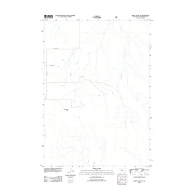
2012 Map of Quinn Table SW
USGS Topo · Published 2012About this map
Seventyone Table rises as a prominent landform in this portion of Pennington County, defining the high ground between numerous drainage systems. The landscape is characterized by a network of seasonal watercourses, including Beaver Cr and Bear Cr, which carve through the plains. The presence of S Fork Sage Cr and Dry Cr further illustrates the complex erosion patterns typical of the region's topography. Transportation in this area in 2012 relied on a sparse network of thoroughfares, most notably Sage Creek Rd and Bear Creek Rd, which provide access to the expansive open ranges and high tablelands. This USGS survey provides a detailed look at the rural South Dakota terrain, capturing the relationship between the flat summits and the dendritic stream networks that define the local geography.
Find a feature on this map
7 named features on this map. Tap any name to fly to it.
Don’t see what you’re looking for? This feature index may not catch every label — zoom into the map to look around manually.
Map Details
Editions of this 2012 Quinn Table SW Map
This is the sole edition of this map. No revisions or reprints were ever made.
Other maps of this area

1950 · Sheep Mountain Table
USGS Topo · 1:24,000

1950 · Imlay
USGS Topo · 1:24,000

1950 · Bouquet Table
USGS Topo · 1:24,000

1952 · Bouquet Table
USGS Topo · 1:24,000

1954 · Scenic
USGS Topo · 1:24,000

1954 · Brennan Flat
USGS Topo · 1:24,000

1954 · Quinn Table
USGS Topo · 1:24,000

1955 · Hot Springs
USGS Topo · 1:250,000

1960 · Quinn Table NE
USGS Topo · 1:24,000

1960 · Quinn Table SE
USGS Topo · 1:24,000