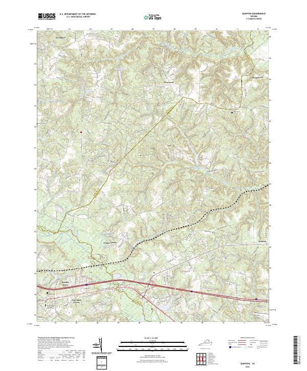
2022 Map of Quinton
USGS Topo · Published 2022About this map
The Chickahominy River defines the southwestern boundary of this area, where low-lying wetlands like Higgins Swamp and Boar Swamp meet the developing residential corridors of New Kent and Henrico counties. This landscape is a transition between the suburban expansion of Bradley Acres and Currituck Farms and the more agricultural north, where Orapax Farms and large tracts of woodland predominate. Local genealogy is well-supported by numerous burial sites, including the Antioch Cem and Rock Hill Cem. Historically significant water features like Parsleys Millpond and Parsleys Cr suggest a legacy of early milling, while the modern New Kent County Airport anchors the southeastern corner. The map also records the exact meeting of three jurisdictions at the Hanover, New Kent, and Henrico county lines.
Find a feature on this map
159 named features on this map. Tap any name to fly to it.
Don’t see what you’re looking for? This feature index may not catch every label — zoom into the map to look around manually.
Map Details
Editions of this 2022 Quinton Map
This is the sole edition of this map. No revisions or reprints were ever made.
Other maps of this area

1894 · Bermuda Hundred
USGS Topo · 1:62,500

1894 · Richmond
USGS Topo · 1:62,500

1895 · Richmond
USGS Topo · 1:62,500

1918 · Charles City
USGS Topo · 1:62,500

1920 · King William
USGS Topo · 1:62,500

1934 · Seven Pines
USGS Topo · 1:24,000

1938 · Dutch Gap
USGS Topo · 1:24,000

1938 · Seven Pines
USGS Topo · 1:31,680

1938 · Studley
USGS Topo · 1:31,680

1943 · Dutch Gap
USGS Topo · 1:31,680